
Les Isnes
In the past, the village of Isnes was divided into two distinct entities: Isnes-les-Dames and Isnes-Sauvage. The former derived its name from the presence of estates belonging to Carmelite nuns, while the latter evoked the woodlands, slowly cleared over time.
In medieval times, these two sections formed haughty seigneuries, directly under the authority of the Count of Namur. The latter also owned the fortress of Golzinnes, built on the heights overlooking the Ripjoux valley, on the western edge of the county.
The village of Les Isnes faced troubled times towards the end of the 17th century, mainly due to the conflicts led by Louis XIV. The siege of Namur in 1692 left its mark. Later, under the French regime, Les Isnes became part of the commune of the canton of Gembloux.
To find out more about Isnes, click here!
")
Practical information
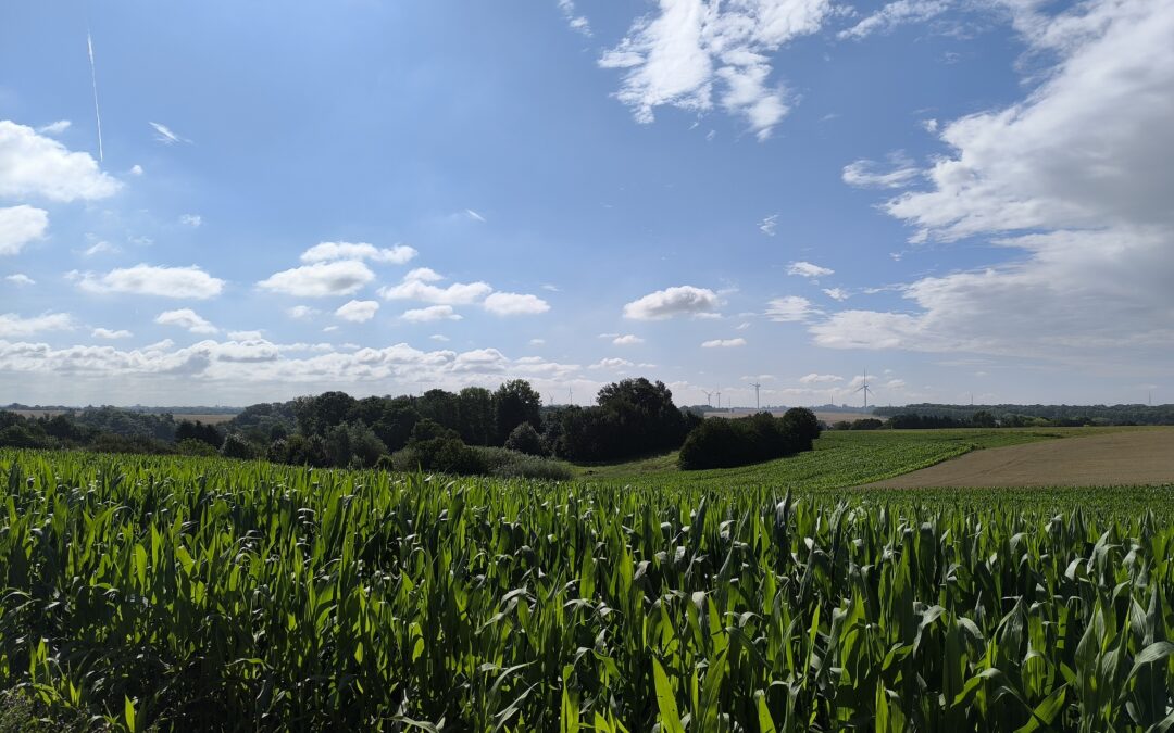
The topography of Isnes reveals an area of low plateaux characterized by significant variations in altitude, from 159m50 to the north of the village to 192m50 at its eastern end.
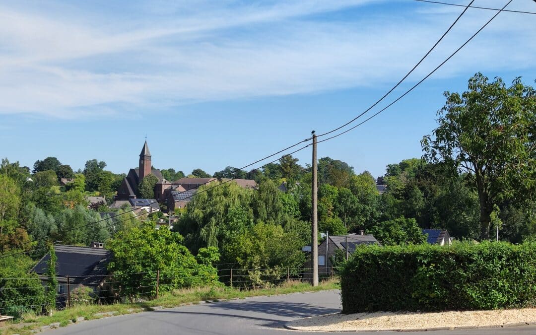
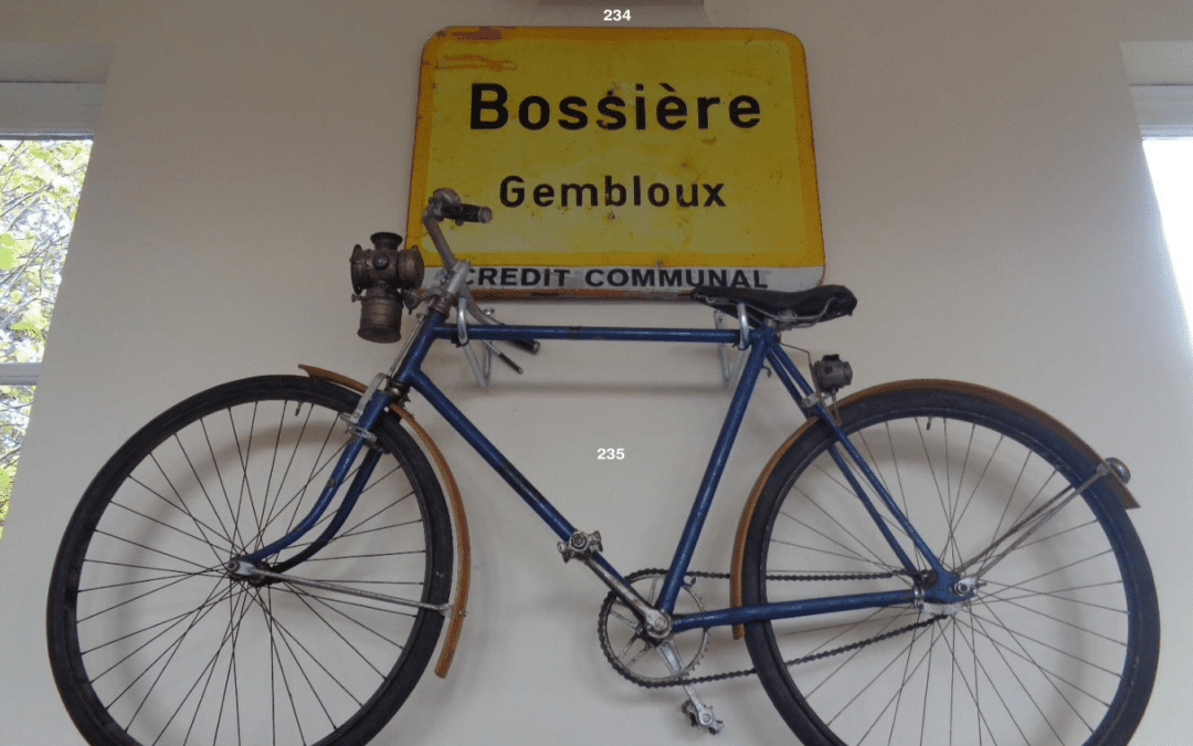
Hydrographically, Isnes is part of the Meuse basin, fed by a stream that flows into the Ripjoux at Bossière, a tributary of the Orneau. The village's housing structure is mainly aligned along a single street.
Village coordinates :
Access via map below
5030 les Isnes - Gembloux