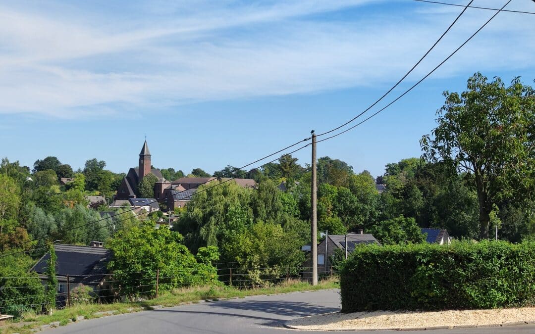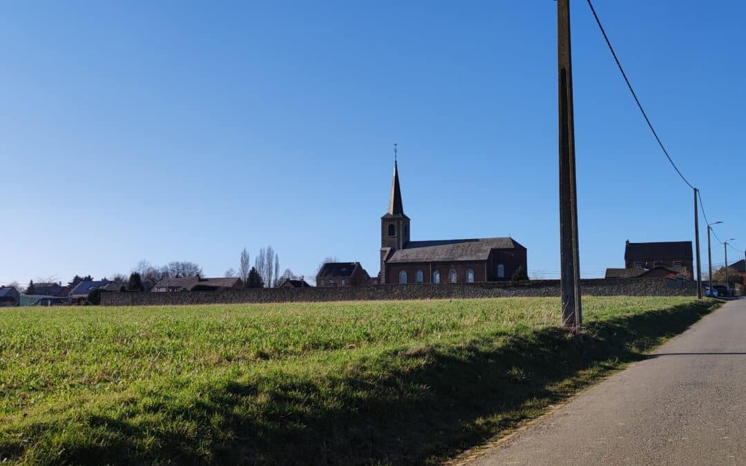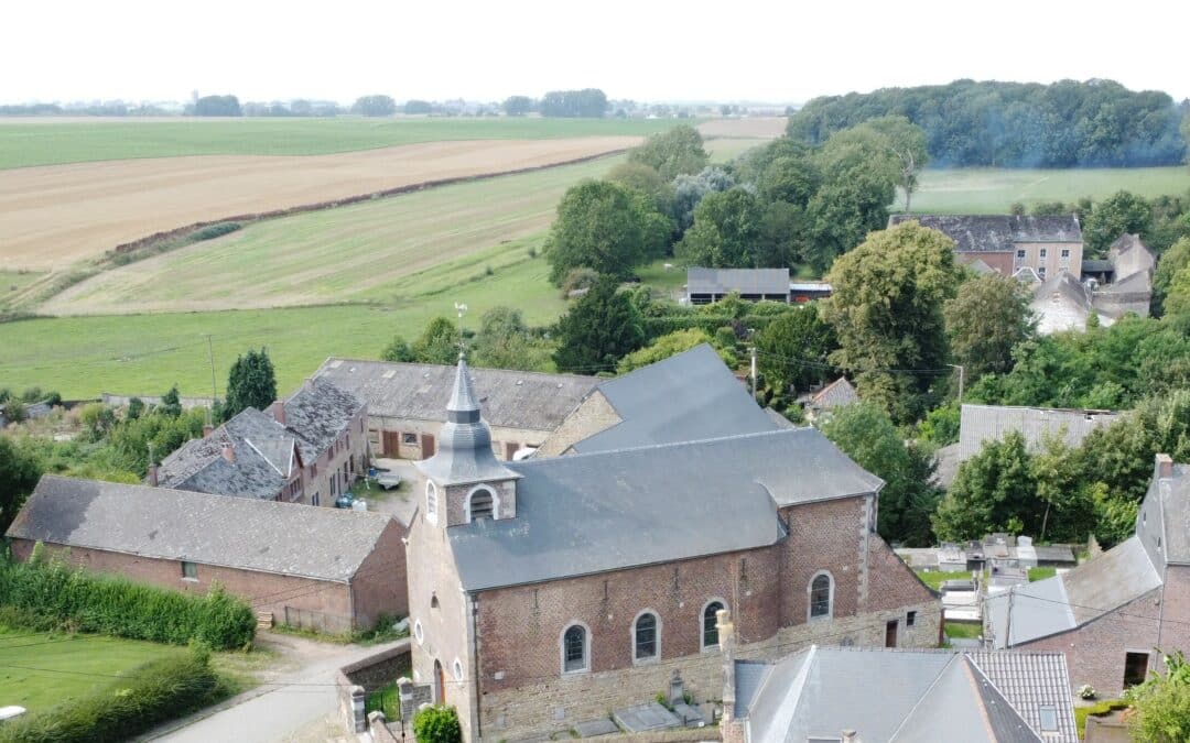

The village of Ernage
The village was first mentioned in a charter granted to the Benedictine abbey by the German king Otto I in 946. According to this document, the knight Wicbertus had ceded his personal property in the villa of Ernage to the monastery, with the exception of a half-manse attributed to his sister Reynuilde. Unfortunately, the exact location of this late medieval farm remains undetermined.
During the Ancien Régime, the village was part of the Gembloux estate, which became a county in the 16th century. Its history is therefore closely linked to that of the county.
On May 14 and 15, 1940, the hamlet was at the heart of the Dyle maneuver, pitting the French 1st Army against two armored divisions of the German 16th Corps. The Brussels-Namur railroad line was the only obstacle capable of halting the enemy advance.
On January 1, 1965, Ernage lost its status as an independent commune and became part of Gembloux.
Find out more here!
Points of interest:
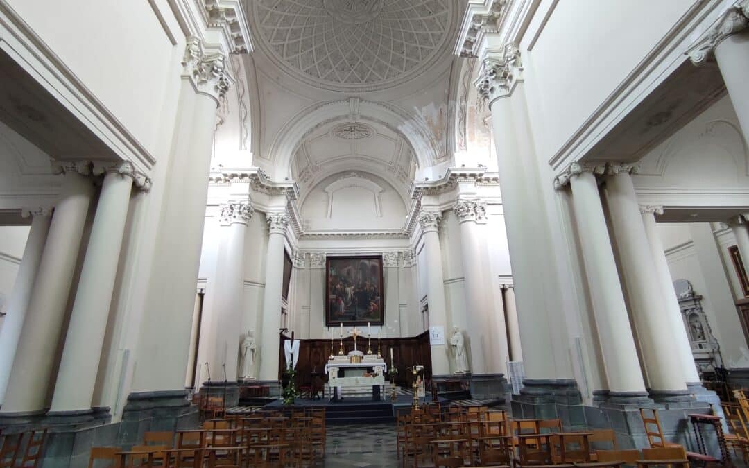
- Saint-Barthélemy parish church
- Sart-Ernage farm

Practical information
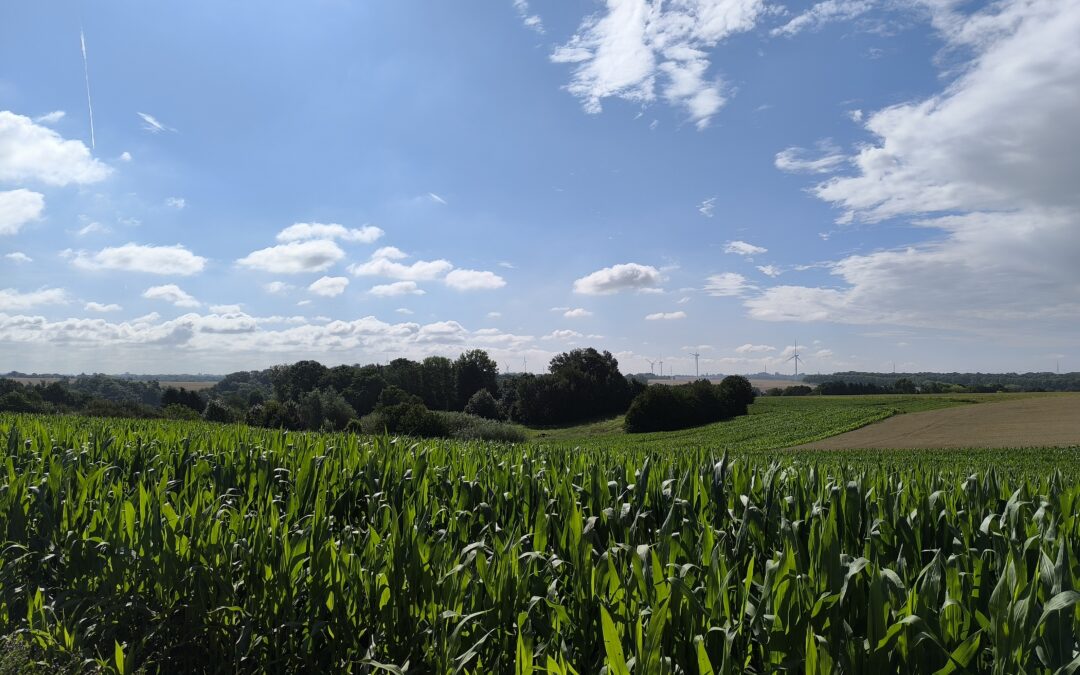
Ernage is located on low plateaus with thick, naturally well-drained silty soils. Their fertility makes them ideal for growing cereals and sugar beet.
The small streams are part of the Scheldt watershed. However, some run-off from areas to the east of the town belong to the Meuse basin.
Ernage village coordinates
Access via map below